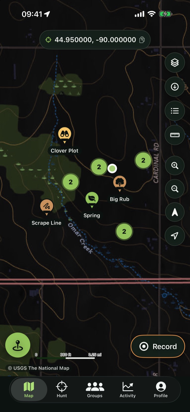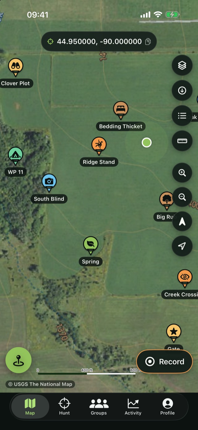
Hunting Planner puts USGS topo and satellite imagery, your stands and sign, GPS tracks, land measurement and a private hunt group in one dark, simple app — for iPhone and Apple Watch.
Download on the App StoreFree · Pro unlocks unlimited offline areas
USGS topographic maps re-tinted for low light, aerial imagery and a hybrid layer — the whole United States. Outside the US, an OpenStreetMap world map.
Stands, blinds, trail cameras, rubs, scrapes, water, parking and hazards — each with photos, notes and a bearing from where you are.
Record with the screen locked, see distance and elevation live, and follow your own track back out in the dark.
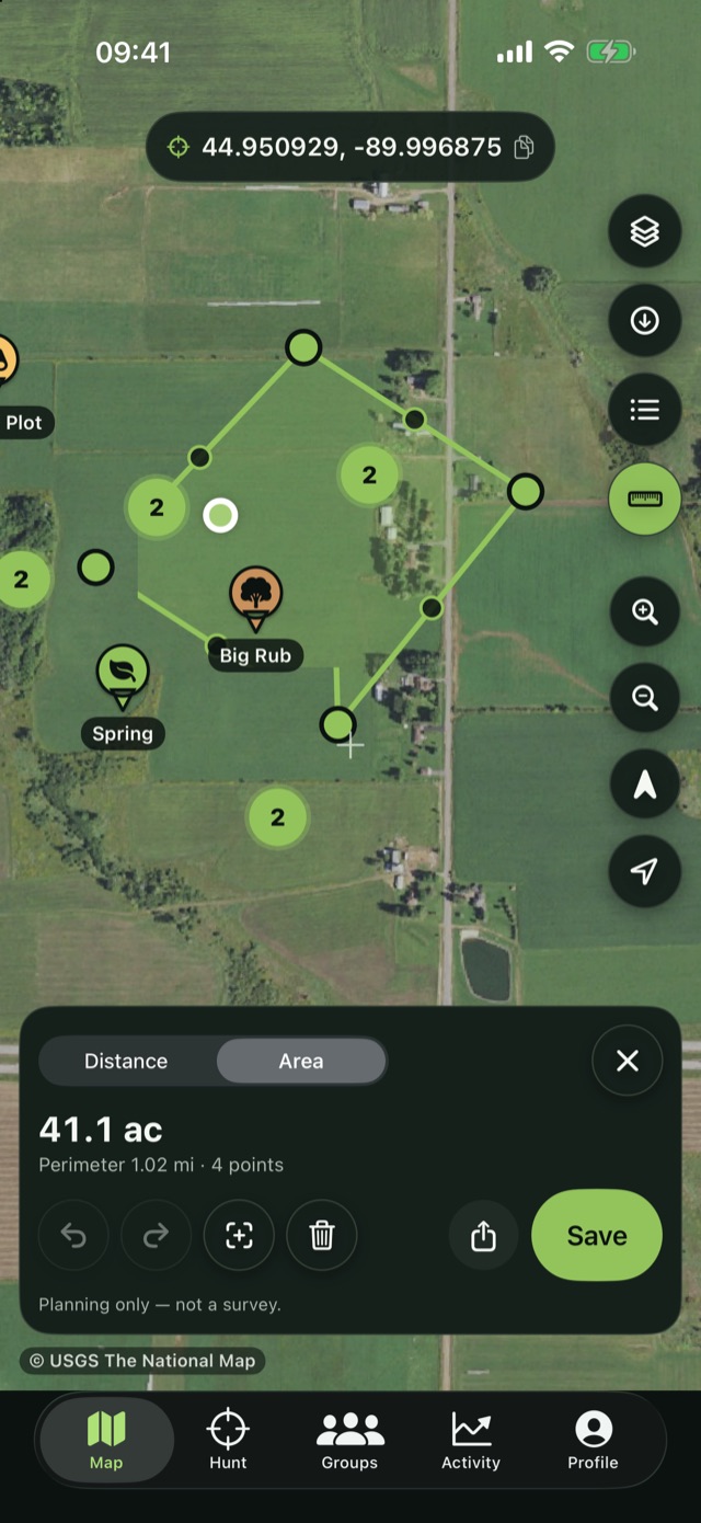
Distance, acres and hectares, UTM and MGRS coordinates, and GPX / KML / GeoJSON export for your other tools.
A red-light filter over the map keeps your night vision in the stand. Dark Topo is on by default.
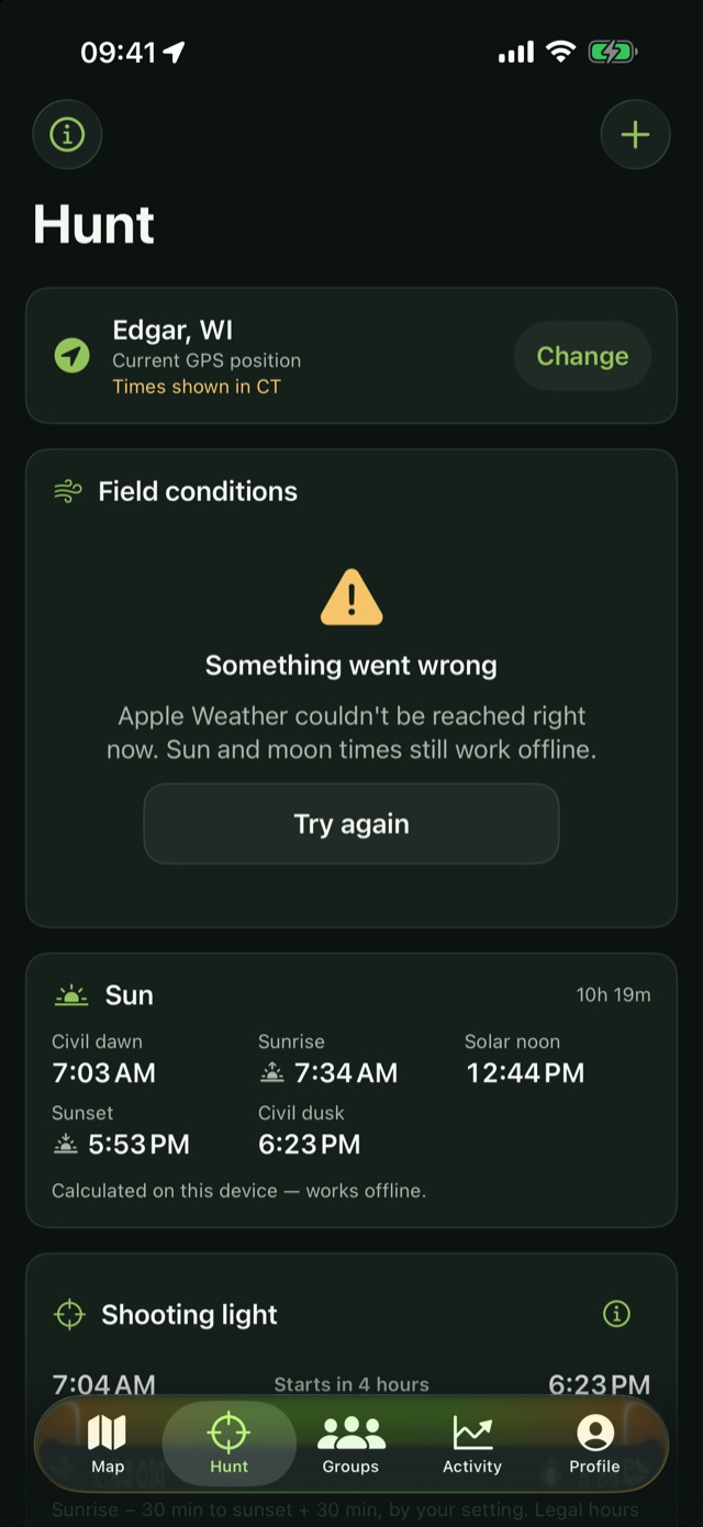
Drop a waypoint, start or stop a track and read wind, temperature and sun times without taking out your phone.
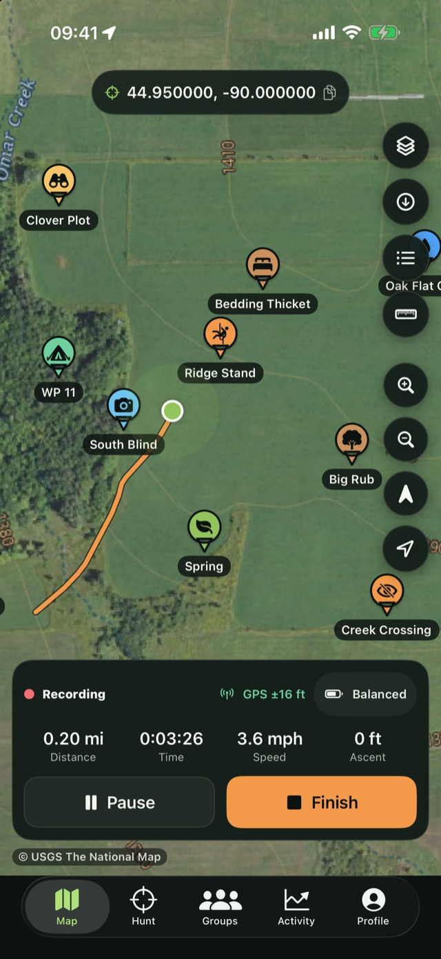
Pick the area you hunt, choose the zoom levels and download it. Topo, satellite and your waypoints keep working in airplane mode — on the ridge, in the swamp, anywhere the bars disappear.
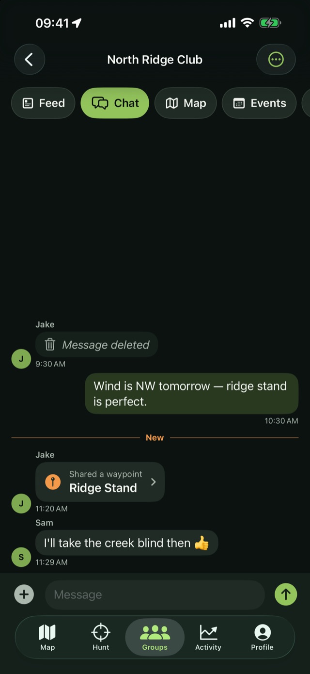
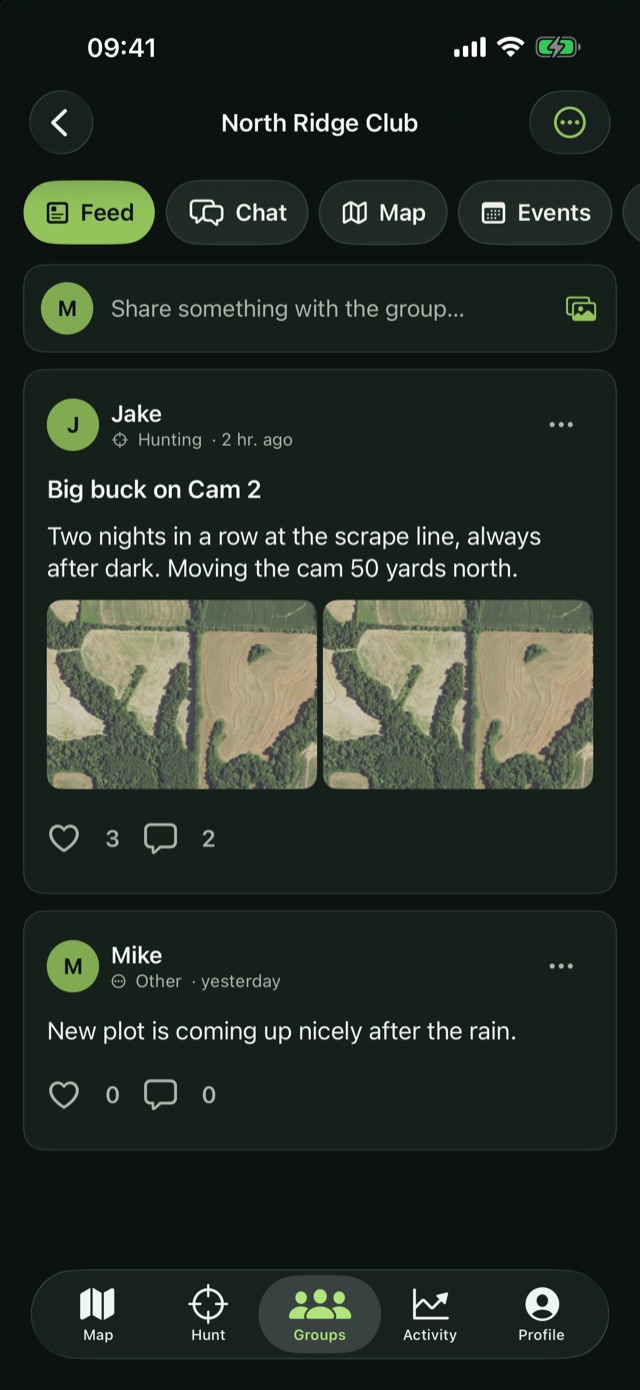
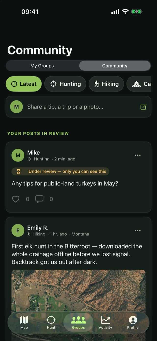
Create a group, share the invite code, and keep chat, shared waypoints, events and photos between the people who were actually there. Nothing is public by default.
Hunting Planner is free to download. Pro adds unlimited offline areas, more groups and the full weather forecast.
Download on the App Store